Ottawa Gatineau Geoheritage

The Ottawa-Gatineau Geoheritage Project promotes greater public knowledge and appreciation of the geology and related landscapes in and around Canada's National Capital Region

23. Outcrop along HWY 307, near Cantley

Gneiss exhibiting folding, faulting, partial melting and intrusion by dykes.


Gneiss outcrop along HWY 307

363 Montée de la Source (Hwy 307), Cantley, PQ.

Cross-cutting dikes in gneissic outcrop, Hwy 307/Montée de la Source, Cantley, Que.

Photo by B. Halfkenny.

The large outcrop is in front of a building called Place Gascon. You should acquire permission from the owners on the second floor (they have been very positive about people looking at this outcrop).

This site is a freshly exposed large outcrop of Grenville aged (1.2 to 1.1 billion years old) gneiss. This new exposure has yet to be fully investigated, but our initial observations indicate it is composed of metamorphosed sedimentary rocks; prior to metamorphism these were interbedded sandstones, siltstone and mudstones. These rocks have been exposed to high pressures and temperatures, indicated by the reordering of minerals to produce the observed gneissosity; white, almost pure quartz bands and darker mafic bands. The dark mafic rock was subjected to high enough temperature that it appears to have partially melted, producing irregular ribbons of feldspar, quartz and large amphiboles. Folding, small scale faulting and partial melting of the original sedimentary rocks is suggested by the observed structures. Granitic dikes cut across the gneissic banding and contain very large quartz and potassium feldspar crystals. These dikes seem to be nearly vertical and appear to follow structural weaknesses created by the previous folding and faulting. These deep crustal rocks (10's of km depth) were raised to the Earth's surface by weathering and erosion of the overlying rocks. Subsequently, the area was glaciated, producing the polished surfaces preserved on the quartzite bands, and then weathered, preferentially removing material from the thinner mafic bands. It was then most recently exposed by mechanical removal of overburden soils during construction of the building and cleaned with a powerwasher such that we now are able to see this surface.
26. Cardinal Creek Karst

Cardinal Creek Karst

Orleans

Taken from inside the main entrance north of Watters road.

Photo by B.McLartyHalfkenny

Traveling east on 174 towards Orleans/Rockland, turn right/south on Trim Road and up to the top of the hill. Turn left onWatters Road and park alongWatters. The entrance to this unique and remarkable karst (cave system) is located on the east side of the bridge. In 2009 the Province designated the southern portion of the Cardinal Creek karst (cave system) as an Earth Sciences Area of Natural Scientific Interest (ANSI) (south of Watters Road). The Cardinal Creek Community Association is working to protect and bring awareness to this remarkable natural feature.

Map provided by the National Speleontological Society of America

25. Pinhey Sand Dunes

Pinhey Sand Dunes - A sand dune complex in Ottawa


Nepean

Eastern section of the dunes

Photo by B.McLartyHalfkenny

Drive south on Woodroffe Avenue, and turn left two blocks south of the Nepean Sportsplex onto Pineland Avenue. Park on the south shoulder beside the signed entry gate near the end of the road (T-junction with Vaan Drive).

The Biodiversity group giving an information session

Photo by B.McLartyHalfkenny

This is Ottawa's only inland sand dune complex— the Pinhey sand dune complex. It has survived with minor modification for over 10,000 years, developed on an old shoreline of the Champlain Sea that inundated the region during the waning stages of the last ice age. This unique ecosystem is home to a number of plant and animal species that can only live in well-drained, open areas with exposed fine-grained sand. Like other sand dunes across North America, it was rapidly disappearing due to a lack of understanding of the biodiversity value of this important ecosystem. In 2011, Biodiversity Conservancy took on the huge project of restoration and reclamation of the Pinhey sand dunes, with the help of the Trillium Foundation, the City of Ottawa and the NCC.

24. Building Stones and Monuments of Downtown Ottawa

A walking tour of the geology of Ottawa's buildings and monuments


Downtown Ottawa

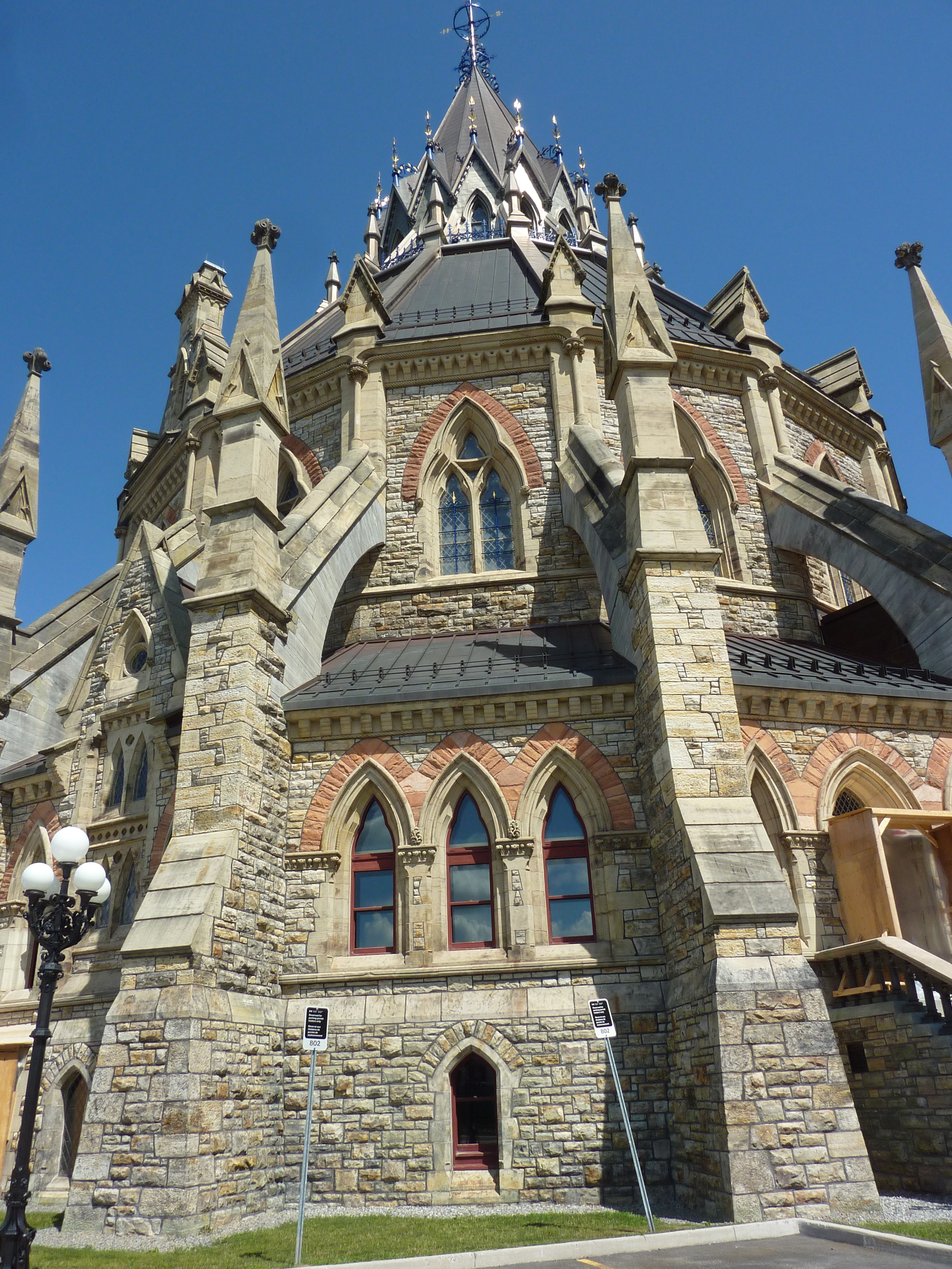
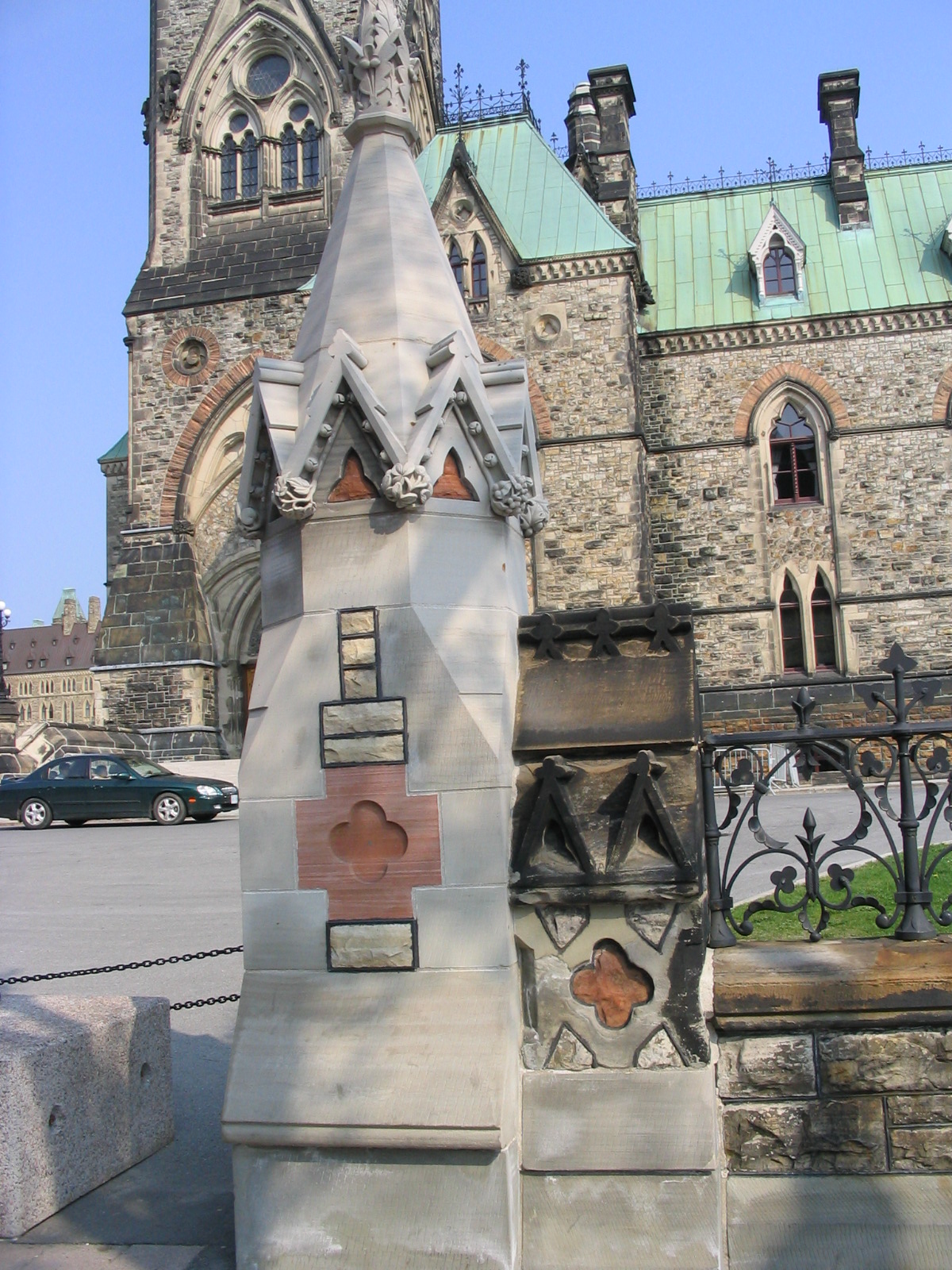
Parliament building

Photo by Q. Gall.

A variety of rocks have been used as building stone in downtown Ottawa. Next time you're downtown or in the Market area, look at the following buildings from a geological perspective.

Many more buildings are described in an excellent guidebook to the geology of the buildings of Ottawa, "A walking guide - Ottawa's building and monument stones" by Quentin Gall, available from the bookstore of the Geological Survey of Canada.

BUILDINGS AND GEOLOGY

  • Parliament Buildings: Nepean Sandstone, Potsdam sandstone, Wallace Sandstone, Ohio Sandstone, Tyndall Limestone, Ottawa Limestone, Missisquoi Black Marble (actually limestone), Stanstead Granite, Grenville Marble, Tennessee Marble
  • Paving stones around Centennial Flame: Tadoussac Granite Gneiss
  • Entrance to stairs descending to locks, Wellington St.: Deschambeault Limestone
  • Chateau Laurier and Old Union Station (Conference Centre), 1 & 2 Rideau St.: Granite, Indiana Limestone
  • British High Commission, 80 Elgin St.: Baltic Rapakivi Granite (ovoid feldspars with halos), black Norwegian Anorthosite
  • Lord Elgin Hotel, 100 Elgin St.: Deschambeault Limestone
  • Hope Building, 61-63 Sparks St.: Stanstead Granite and Italian Marble
  • E.R. Fisher Building, 117 Sparks St.: Serpentine Marble
  • TD Bank, 212 Sparks St.: Queenston limestone
  • Scotia Bank, 118 Sparks St.: Adair Marble
  • Bank of Montreal, 161 Sparks St.: Queenston Limestone, Stanstead Granite, Floor tiles of Cararra Marble. Mexican Onyx (Travertine)
  • The Shoe Box, Le Papillon, 189 Sparks St.: Lac St. Jean Anorthosite
  • Hallmark, 203 Sparks St.: Serpentinite
  • Wellington Building, 180 Wellington St.: base of Stanstead Granite, faced with Indiana Limestone
  • National Press Club, 150 Wellington St.: Indiana Limestone
  • Langevin Block, 50 Wellington St.: Miramichi sandstone

DIMENSION STONES COMMONLY USED IN THE OTTAWA-GATINEAU REGION INCLUDE:

  • Nepean Sandstone (Cambro-Ordovician, Kanata)
  • Potsdam Sandstone (Cambro-Ordovician, Kingston, New York State)
  • Wallace Sandstone (Carboniferous, Nova Scotia)
  • Old Red Sandstone (Devonian, Scotland)
  • Ohio Sandstone (Berea Formation, Mississippian, Wakeman, Ohio)
  • Tyndall Dolomitic Limestone (Ordovician, Garson, Manitoba: contains Receptaculites, Maclurites, other gastropods, burrows, orthocones, and corals)
  • Ottawa Limestone (Ordovician, local)
  • Cobourg Limestone (Ordovician, local)
  • Adair Marble (actually dolostone: Amabel Formation - Silurian, Wiarton, Ontario)
  • Eramosa Dolostone (Silurian, Wiarton, Ontario; stromatolitic; used mainly as "Waterfall Rock" in landscaping)
  • Queenston Limestone (Niagara)
  • Deschambault Limestone (Lowville, Quebec)
  • Missisquoi Black Marble (actually limestone, Philipsburg, Quebec)
  • Indiana or Salem Limestone (Mississippian, Bedford, Indiana: main source of dimension stone in USA)
  • Tennessee Marble (Knoxville, Tennessee)
  • Italian Marble, Carrara Marble
  • Mexican Onyx (travertine)
  • Tadoussac granite gneiss (Precambrian, Saguenay, Quebec)
  • Stanstead Granite (Beebe, Quebec)
  • Vermillion Bay Granite
  • Lac St. Jean Granite
  • Standstead Granite
  • Peribonka Granite (actually gabbro, Lac St. Jean)
  • Tadoussac Granite Gneiss
  • Rapakivi Granite ("Baltic Brown", Finland)
  • Labradorite Anorthosite ("Norwegian Blue Pearl")
  • Larvakite (Labradorite Syenite)
  • Serpentinite
  • Vermont Slate
  • Verde Antique (Roxbury, Vermont

22. Burnt Lands Alvar, Almonte

Barren limestone plain that hosts rare vegetation


Limestone, Burnt Lands Alvar, Almonte

North of March Rd., between Burnt Lands and Golden Line roads, Almonte, Ont.

Limestone plain, The Burnt Lands Alvar 

Photo by J. Aylsworth

An alvar, also known as a pavement barren, is a very special biological environment, with sparse vegetation and unusual species. Alvars occur only on limestone bedrock that is covered with little or no soil.

The Burnt Lands Alvar is a provincially significant Area of Natural and Scientific Interest (ANSI) to the east of Almonte, Ontario. Part is private land; part is a Nature Reserve Class provincial park; part is owned by City of Ottawa. The alvar contains a diversity of coniferous forest, dry and moist alvar meadows, and areas of open exposed bedrock. The most accessible part belongs to City of Ottawa and is the open land lying north of March Rd. and west of Burnt Lands Rd.

The Burnt Lands Alvar is a large, relatively flat area characterized by exposed 'pavements' of limestone belonging to the Gull River and Bobgaygeon formations. Chemical weathering of the limestone has pitted the rock surface and accentuated the joint patterns, which are deeply etched into the bedrock. Freeze-thaw weathering has also left a thin layer of shattered rock on the surface. The alvar vegetation is generally restricted to cracks and small low pockets in the rock where minimal soil has accumulated.

Please stay on the trails to protect the fragile ecosystem.

THE FOLLOWING DESCRIPTION IS REPRINTED FROM THE WEBSITE OF THE MISSISSIPPI VALLEY FIELD NATURALISTS

http://mvfn.ca/?tag=burnt-lands-alvar.

The Burnt Lands Alvar is the most extensive alvar east of the Frontenac Axis and is an outstanding example of this globally significant habitat. It supports some 82 breeding bird species, 48 butterfly species and 98 owlet moths. It is home to globally rare species such as the Ram's-head Lady's slipper and a new owlet moth discovered there by naturalist Dan Brunton. Many of its invertebrate species, such as the snail species Vertigo hannai, have likely been isolated and survived in such remnants of a prairie-like community that previously covered a wide area of North America. Although the alvar is not a prairie, many prairie species are present such as prairie sawflies and a thriving population of wingless prairie leafhoppers whose nearest other known population is in the Bruce Peninsula.

21. Metcalfe Geoheritage Park, Almonte

Canada's first geoheritage park


Metcalfe Geoheritage Park, Almonte

Almonte St. (Hwy 49), Almonte, Ont.

Quartz sandstone showing ripple marks, with microdiesiccation patterns in ripple troughs. Metcalfe Park, Almonte.

Photo by J. Aylsworth

The Metcalfe Geoheritage Park, an assemblege of local rock, is our first step towards establishing a network of geoheritage parks across the nation. Thirty blocks of local rock, which are representative of the types of bedrock found in the region, have been assembled in Metcalfe Park beside the Mississippi River in Almonte - immediately south of the recently renovated power plant at the west end of Mill St. Rock types include sandstone, limestone, dolostone, marble, gneiss and diabase and pegmatite. Examples of fossils, cross-bedding, cavity fills, bedding and lamination, intrusion, foliation, lineation, glacial modification, and weathering can be seen.

20. Petrie Island

Modern shoreline processes and the geology of imported blocks


Petrie Island

North end of Trim Rd., Ottawa, Ont.

Petrie Island beach.

Photo by A. Tweedle

Petrie Island is a sand island, composed of stratified sand and silt deposited by the Ottawa River and locally contains boggy areas with deposits of organic material (peat). The impact of erosion and deposition can be observed along the shoreline.

Cobbles and boulders of Precambrian and Paleozoic rock can be found in places and represent glacially transported material from the north, ultimately left as a lag deposit when the finer-grained glacial sediments were washed away by the river. A variety of igneous and metamorphic rock types can be seen among the Precambrian samples.

Also on the site are blocks of Ordovician sedimentary rock (mainly limestone and dolostone with some black shale layers) that were hauled in to reduce shoreline erosion. Numerous primary features can be seen in these rocks, including mudcracks in black shale layers, ripple marks and trace fossil burrows.

Visit the Friends of Petrie Island clubhouse to learn more.

19. Pinhey's Point

Ordovician rock and Quaternary sediments at an historic homestead


Pinhey's Point

Pinhey Point Rd. off 6th Line Rd. Kanata, Ont.

Precambrian erratic boulder on Rockcliffe Formation sandstone, Pinhey's Point.

Photo by J. Aylsworth

The Pinhey's Point Historic Site is underlain by Ordovician-age (about 470 Million years old) bedrock, and covered with a thin veneer of Pleistocene-age glacial and marine deposits, and more recent (during the last 8000 years) soil and sediment related to the establishment of the Ottawa River.

The Ordovician bedrock in the Pinhey's Point area consists of fine-grained sandstone (Rockcliffe Formation), and slightly younger limestone that is part of the Ottawa Group. These two rock units are locally separated by a northwest-trending fault. The trace of this fault forms the embankment that slopes down to the Ottawa River immediately beside Pinhey's house and the barn.

Cropping out along the Ottawa River shoreline on the Pinhey's Point Historic Site are horizontal beds of the Rockcliffe Formation sandstone. In most of the exposures, thin beds of grey-green, fine-grained sandstone display ripples that were formed by waves and currents that moved the sand along an ancient shallow sea floor during the Ordovician. You can also see, in the rippled sandstone, horizontal burrows which were formed by ancient organisms as they moved along the rippled sands, perhaps as they were feeding on nutrients in the unconsolidated sediment. These horizontal burrows are called trace fossils, as they are not fossils but structures developed by the activity of the organisms living in the shallow marine environment during the Ordovician Period. Thicker sandstone beds display cross bedding.

The Ottawa Group limestone is not as well exposed as the Rockcliffe Formation sandstone. However, one place that you can see it is in the house, where the limestone forms part of Mrs. Pinhey's kitchen floor. You can also see the local limestone in the stone walls of the buildings. These limestone building stones were locally quarried, then crudely-shaped and bush hammered into platy and rectangular blocks. A close look at the limestone blocks in the walls will reveal fossil fragments, rounded mud pieces, thin bedding, jagged near-horizontal lines (stylolites), and some ripples and small cross beds.

Scattered around Pinhey's Point Historic Site are erratics - rounded boulders that were eroded and carried to this site by glacial ice during the last Ice Age. Most are Precambrian igneous and metamorphic rocks and were likely eroded from the Gatineau hills. Some of these boulders have been used as borders beside the walks and roads. The stony-sandy soil in the surrounding fields is till, another deposit of the glaciers.

18. Parc du lac Beauchamp, Québec

Precambrian-Cambrian contact


Parc du Lac Beauchamp, Québec

Kilometre 0.6 on the park road to Lac Beauchamp, off Blvd. Maloney, Gatineau, PQ.

Unconformity between Nepean Formation quartz arenite and Precambrian granitic basement rocks. Roadcut, Parc du Lac Beauchamp, on west side of entrance road, at westward turn in the road, beside the lake. 

Photo by Q. Gall.

Grenville gneiss, granite and quartzite showing typical crystalline texture, foliation, joints and fractures are unconformably overlain by Nepean sandstone, represented at this site by silica-cemented quartz arenite. The unconformity can be seen at a roadcut on the west side of the entrance road, at the westward turn in the road, beside the lake.

The Grenville basement rocks are capped by a regolith (paleosol), produced by a combination of ancient mechanical & chemical weathering. Distinctive spheroidal weathering immediately below the unconformity is regarded as the product of pre-Nepean weathering of the Precambrian land surface. Rare pebbles of vein quartz occur in thin lenses at the base of the Nepean.

Closeup of unconformity showing relict weathering at top of Precambrian granitic. Roadcut, Parc du Lac Beauchamp, on west side of entrance road, at westward turn in the road, beside the lake.

Photo by Q. Gall.

In the Nepean sandstone, the framework of well-rounded grains of quartz plus rare grains of chert and feldspar can be seen with a hand lens. These thick-bedded deposits were quarried for buildings in the early settlements of Hull (now Gatineau) and Bytown (now Ottawa). Asymmetric ripple marks are evident on the tops of some beds, and large-scale crossbedding reflects deposition as subaqueous dunes (the low angle of repose rules out deposition by wind).

Dune crossbedding can be seen in the outcrop east of an abandoned quarry (now an unpaved parking area), immediately south of Lac Beauchamp.

In the sandstone to the west of the unconformity exposure, near-vertical subcylindrical trace fossils (evidence, without the body, of animal or plant activity) are locally abundant. Some display prominent flared circular, ovoid and tear-drop-shaped burrow openings best seen on the surfaces of the largest dune units.

A minor amount of sulphides in the quartz arenites is responsible for the widespread iron oxide staining. Such staining is particularly strong on dimpled bedding surfaces which are possible relics of degraded cyanobacterial mats that served to concentrate/precipitate iron sulphides or iron oxides during quiet episodes.

Glacial polish, striae (parallel linear scratches) and chatter marks (small crescentic grooves) as well as sinous features eroded by sub-glacial hydraulic scour are apparent at the top of most outcrops of Nepean sandstone at this locality.

17. Lady Grey Dr. behind Royal Canadian Mint

Limestones from a depositional environment of episodic storms


Royal Canadian Mint

Lady Grey Dr. behind Royal Canadian Mint, Ottawa, Ont. The rock outcrop is at the bottom of the sidewalk that ascends the cliff to Sussex Dr.

Verulam limestone , Lady Grey Drive behind the Royal Canadian Mint.

Photo by Q. Gall.

This outcrop represents a section of the Upper Ordovician Verulam Formation. (This overlies the Hull Formation.) The Verulam Formation documents sedimentation in deeper water than the Hull Formation, but in water depth still influenced by storm activity. The outcrop shows a number of important sedimentary features: (1) fining-upward limestones; (2) erosional boundaries on most beds; (3) lateral truncation and erosion of single beds; (4) alternating coarser and finer grained limestones; (5) rip-up clasts; (6) burrowed tops of beds. These features illustrate a depositional environment influenced by episodic storms that eroded the seafloor (locally lithified = rip-up clasts), then deposited sediment with waning (slowing) flow to produce fining-upward grain sizes. Between storms, the beds were burrowed (forming trace fossils) by organisms that did not leave any skeletal material.