3. Stony Swamp Conservation Area
Sedimentary structures in Paleozoic strata
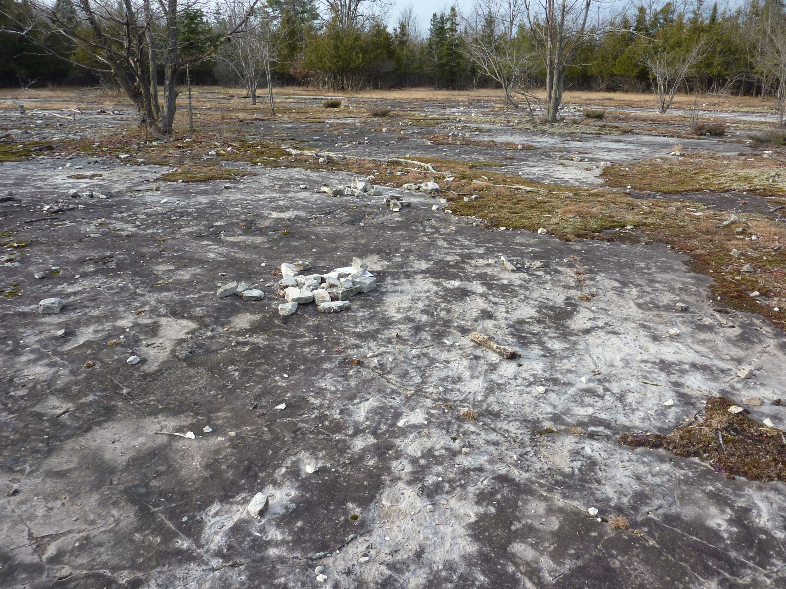
Stony Swamp Conservation Area
Richmond Rd., 0.75 km south of Hunt Club Rd., Ottawa, Ont
Nepean Formation, Rideau Trail - Stony Swamp Conservation Area.
Photo by Q.Gall
Park below the transmission lines in the lot marked P6. Follow the path and boardwalk westward to an open expanse of flat-lying white bedrock.
Cambrian-Ordovician sandstone in plain view and glacial erosion.
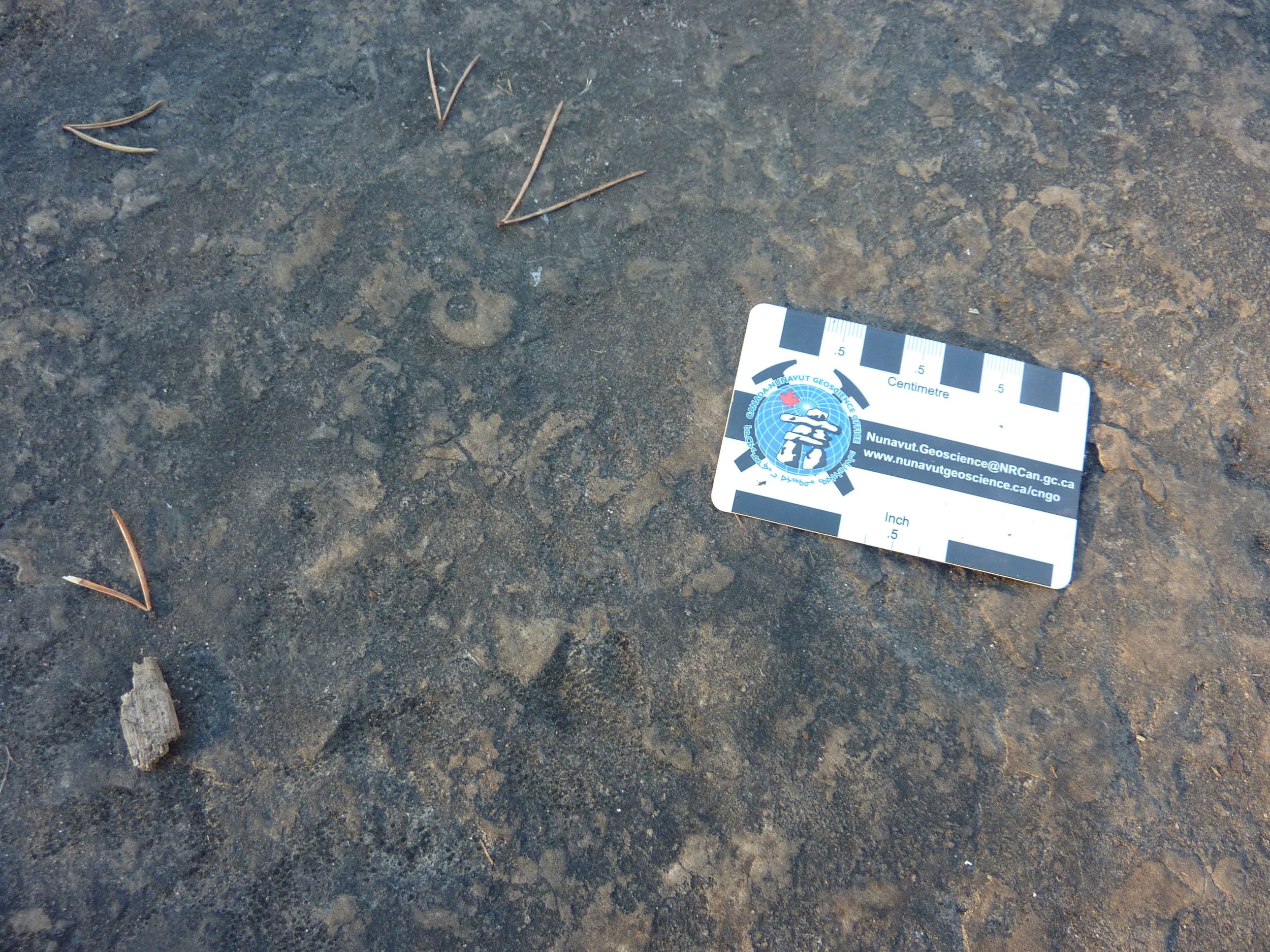
This large outcrop offers an extensive exposure of a single bedding surface of the quartz-rich sandstone typical of the Nepean Formation. The outcrop surface is sub-divided by prominent sets of joints. Loose blocky slabs provide a view of composition, texture and parallel laminations (bedding) in the third dimension.
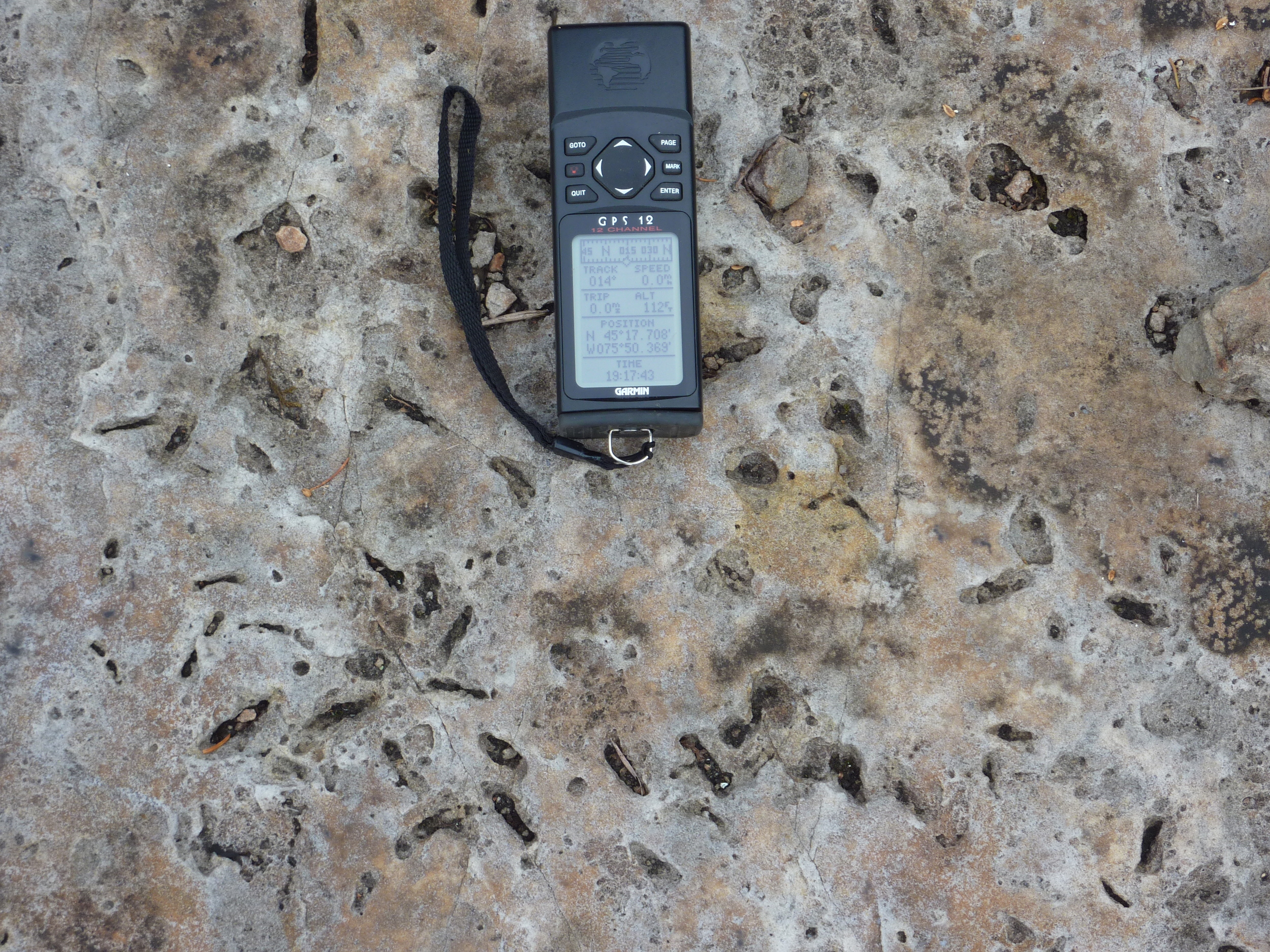
The sandstone beds are still in their original, horizontal position. The sandstone is composed almost entirely of well-sorted sand-size quartz grains that are cemented by quartz cement. The framework grains are very well rounded and highly spherical. Bedding is marked by slight grain-size and colour differences.
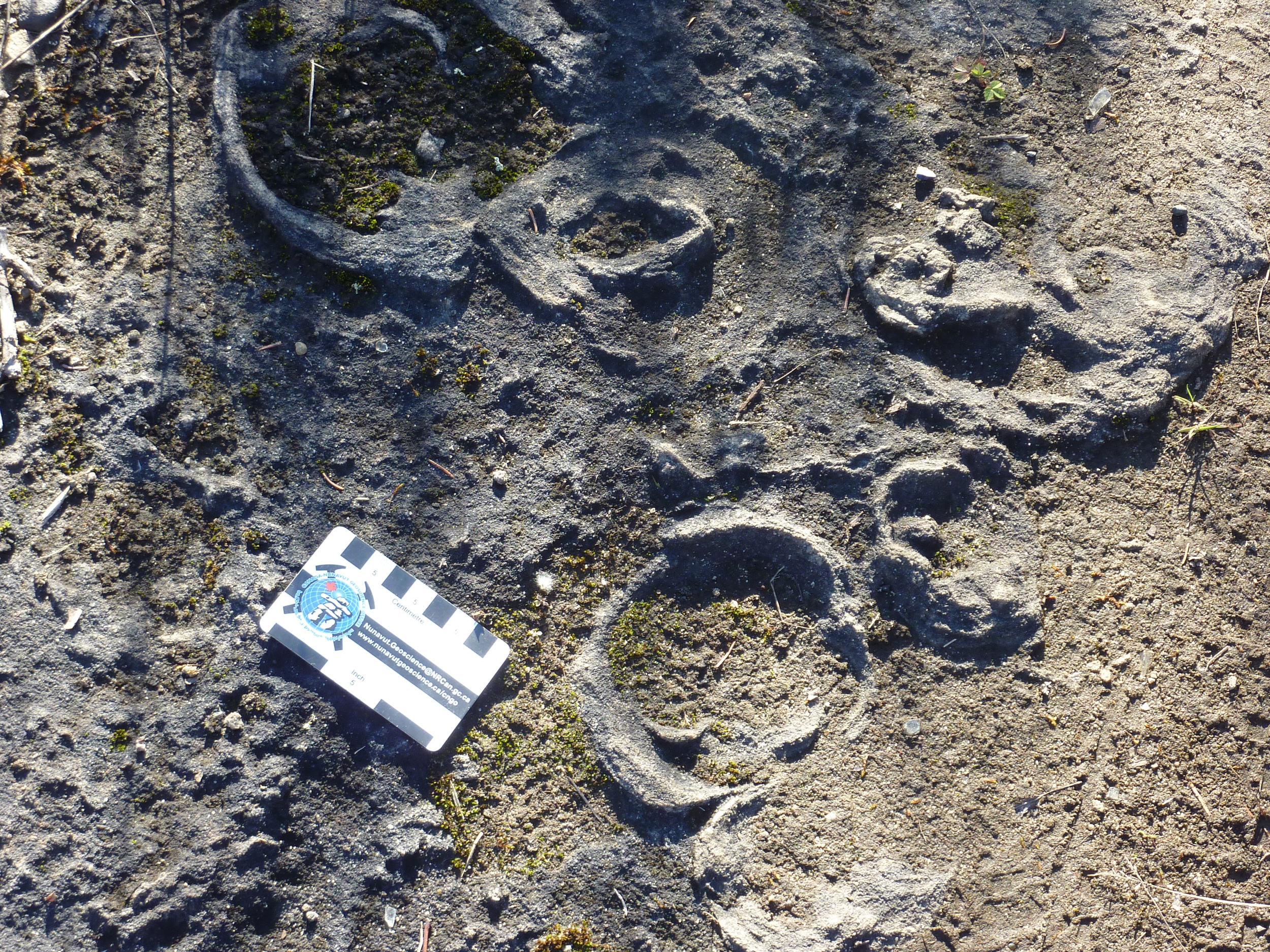
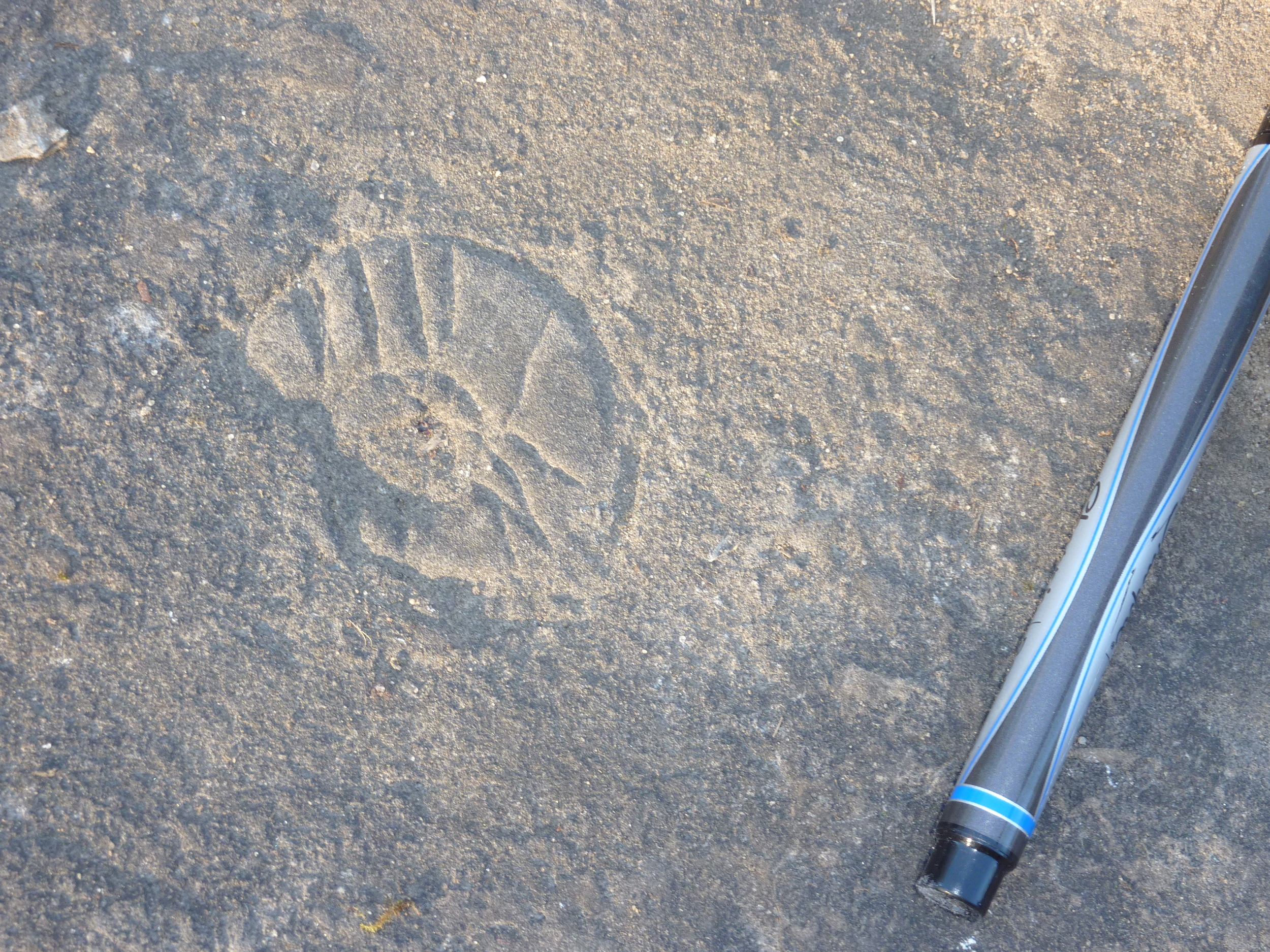
Gastropod in March Formation, Jack Pine Trail - Stony Swamp Conservation Area.
Photo by Q.Gall
The sand was likely deposited in a shallow braided river environment, approximately 500 million years ago. Abundant sets of trough crossbedding can be seen as arcuate traces on the surface (troughs open down-current to the south). These, and the asymmetric ripple marks seen on bedding, indicate that, during deposition, paleocurrents were moving the unconsolidated sand southward. Occasional sets of symmetric ripple marks show trends essentially perpendicular to the current flow direction and may be shore-parallel. The presence in the sandstone of a few elongate crystal pseudomorphs (a mineral with the crystalline form of another mineral rather than its usual form), which are interpreted to have been gypsum (hydrated calcium-sulphate), suggests that the environment may have had a marine influence, or that the depositional waters may have occasionally become alkaline.
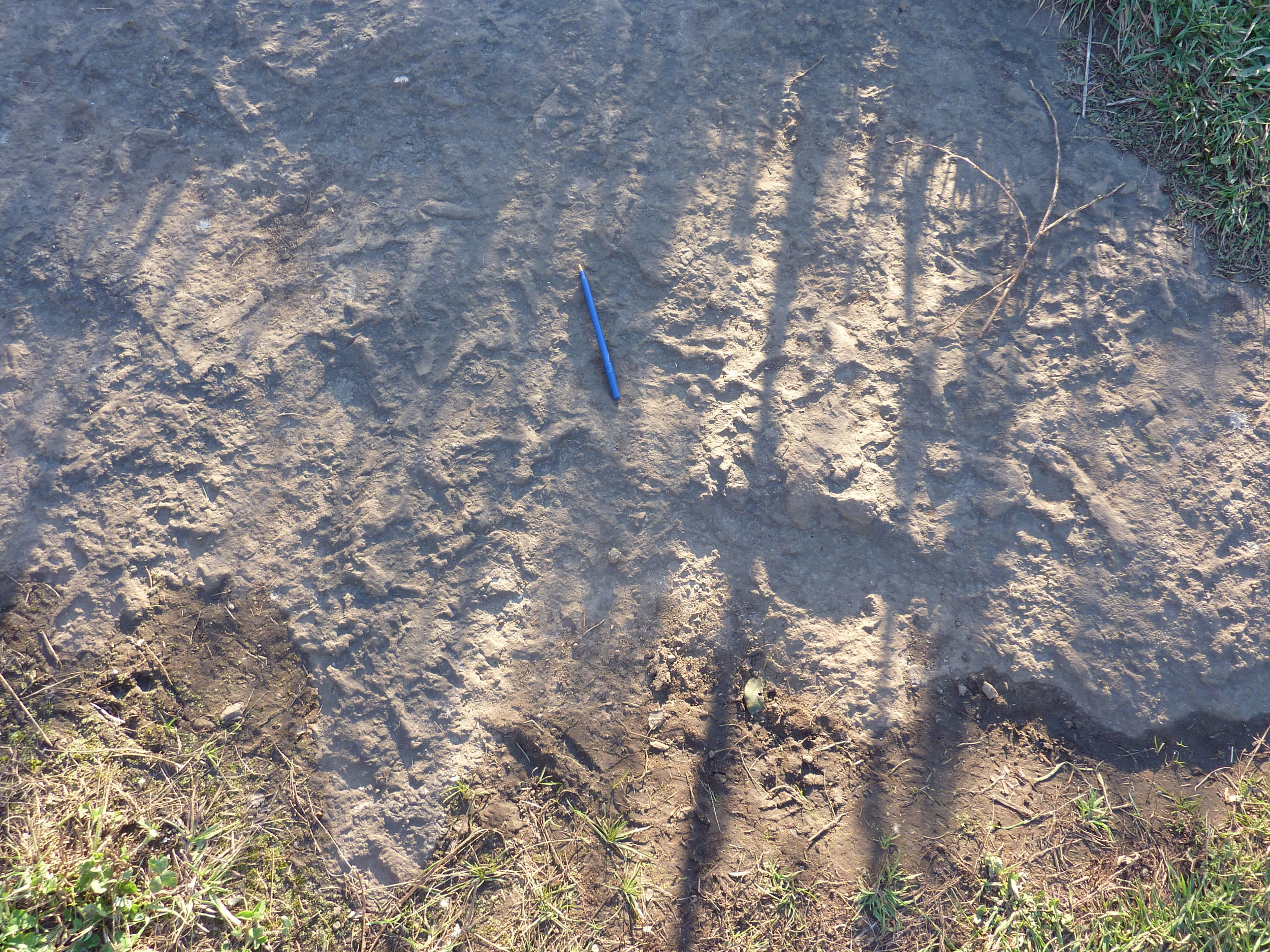
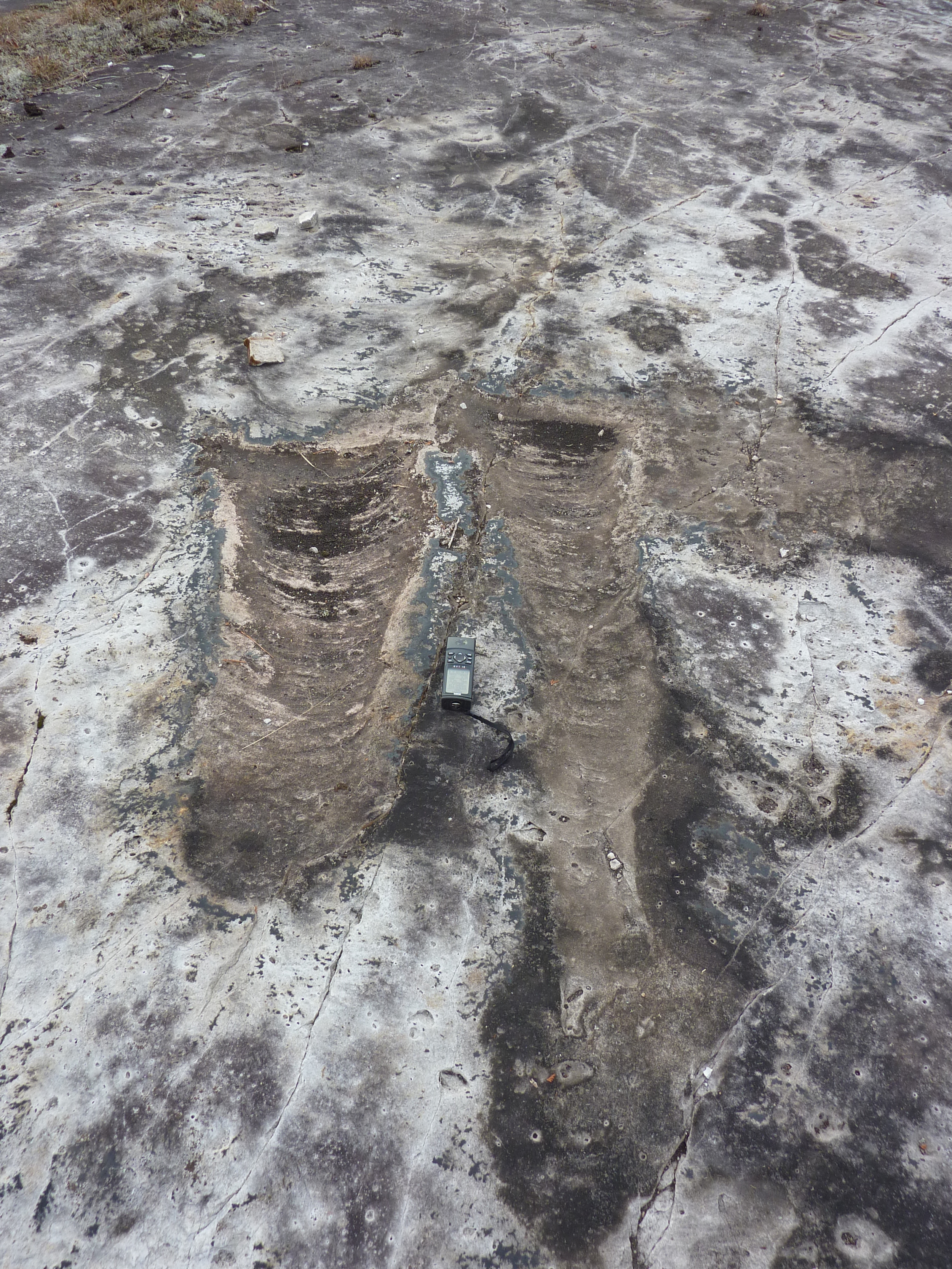
A prominent and consistent pattern of joints subdivide the outcrop surface, which also displays abundant evidence of Pleistocene glaciation. Many top surfaces have been polished smooth by glaciation. Nested arcuate chatter marks and glacial striations parallel to the axes of the chattermarks both indicate that the ice was moving southward in this area. The former are a series of small, closely spaced, crescentic grooves chipped in the bedrock by rock pieces held in the moving ice. The horns of the crescent generally point towards the down ice direction. Glacial striations, also known as striae, are parallel linear grooves that were carved in the bedrock by rock pieces frozen into the glacier.